Unearthing a 5,000-Year-Old Fortress in Romania: How LiDAR Technology Revealed a Lost Prehistoric Stronghold
The dense forests of Neamț County in Romania have long kept one of Eastern Europe's most significant prehistoric secrets. For millennia, an elaborate fortress, dating back an astonishing five thousand years, lay concealed beneath a thick blanket of vegetation, its story lost to time. This remarkable structure, bridging the Neolithic and Bronze Age periods, remained a phantom in the historical record until the advent of sophisticated remote-sensing technology finally called its bluff. In 2025, what was once invisible to the human eye was laid bare by laser pulses from the sky, offering archaeologists a pristine and unprecedented window into the defensive ingenuity and social organization of a distant chapter of human civilization. This discovery does more than just add a new pin to the archaeological map; it fundamentally recalibrates our understanding of prehistoric societal complexity in the region and hints at the vast, unseen history still waiting to be revealed.
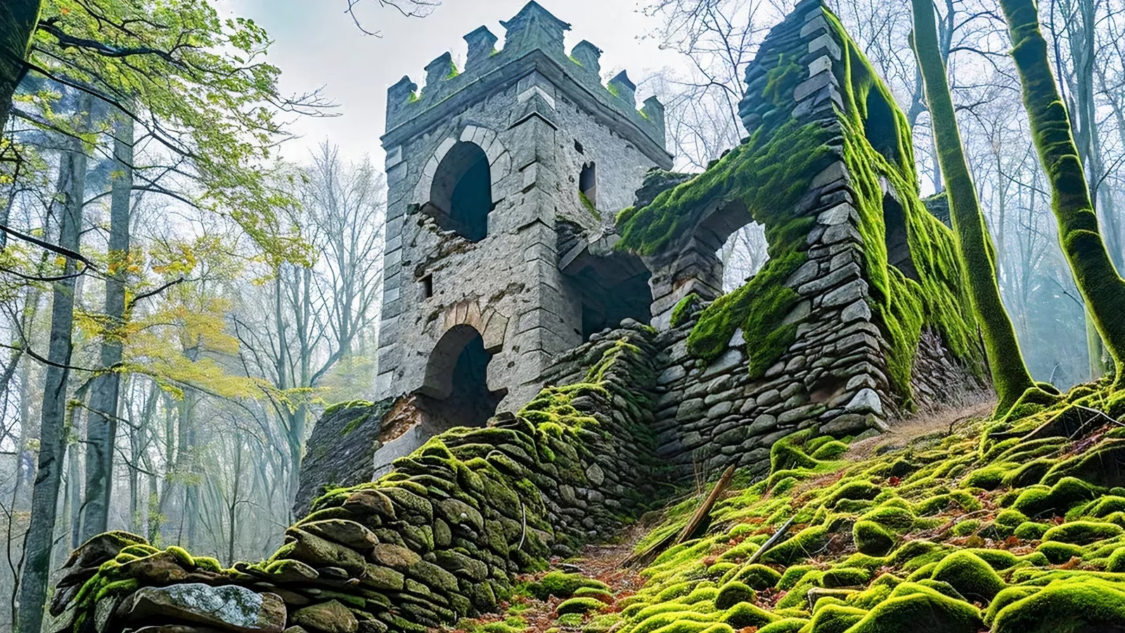
When nature is the guardian, traditional exploration often fails. The key to unlocking this hidden world was LiDAR, or Light Detection and Ranging. This revolutionary technology works by mounting lasers on drones or aircraft, which fire rapid pulses of light toward the ground. By precisely measuring the time it takes for each pulse to bounce back, sophisticated software can construct incredibly detailed three-dimensional maps of the terrain. Crucially, these maps can digitally "strip away" layers of forest canopy and undergrowth, revealing the subtle contours of the earth beneath—contours shaped by human hands thousands of years ago. In the challenging, overgrown landscape near Târgu Neamț, LiDAR acted like an X-ray, seeing through trees as if they were mere shadows and exposing the geometric clarity of ancient fortifications that had eluded ground surveys for centuries.
The scans revealed that the ancient builders were not merely settlers; they were strategic masters of their environment. The fortress was constructed on elevated terrain, a choice that provided a commanding, 360-degree view of the surrounding valleys and approaches. This prime location was selected with clear defensive and territorial logic in mind. From such a vantage point, sentinels could spot potential threats—whether rival groups or migrating animals—from a great distance, granting the community crucial advance warning. The positioning speaks to a society that valued security, surveillance, and control over its territory, moving beyond simple agrarian subsistence to demonstrate organized military foresight.
The physical defenses themselves are a testament to a highly coordinated and capable society. The LiDAR data outlined a formidable system of earthworks designed to deter and defend:
-
Massive Defensive Ditches: The fortress was protected by enormous, man-made ditches stretching for hundreds of meters. Excavating these features with primitive tools would have required a staggering communal effort, indicating a social structure capable of mobilizing and managing large labor forces for a common goal.
-
Imposing Earthen Ramparts: Complementing the ditches were towering mounds of earth, built up to create formidable walls. These ramparts would have served as both physical barriers and elevated platforms for defenders.
This combination of ditches and mounds created a layered defense-in-depth, a concept that remained central to fortification design for millennia to come. The sheer scale of this construction project loudly proclaims that these ancient people had something of immense value to protect—be it stored resources, sacred sites, or their very community.
😲 The implications of this single discovery ripple outwards, suggesting a hidden archaeological landscape. If one major fortified settlement remained hidden for so long in Romania's forests, what else might be out there? Researchers now speculate that the region could be dotted with similar, yet-undiscovered sites—a network of prehistoric settlements, trade routes, and ceremonial centers. The successful application of LiDAR here opens a new era of exploration for densely forested and topographically difficult areas across Europe and beyond. Previously unsurveyable regions can now be mapped with precision from the air, minimizing the risk of damaging fragile sites through intrusive ground searches. This non-invasive approach is revolutionizing field archaeology.
Furthermore, this discovery sits within a thrilling global trend of technological revelation. From sprawling, previously unknown urban complexes under the Amazon rainforest to faint, newly discerned Nazca geoglyphs in Peru, advanced sensing technologies are systematically filling in the blank spots on our historical atlas. Each discovery challenges previous assumptions and deepens the narrative of human development. The 5,000-year-old fortress in Neamț is far more than an isolated ruin; it is a beacon pointing toward a future where the past is continually rediscovered. It proves that the earth still holds countless stories, patiently waiting for the right key—a combination of curiosity and cutting-edge tech—to turn the lock and let the light in.